Early Maps
This page brings together a selection of early maps that illustrate the development of Antarctic geological, soil and geomorphological research. They provide a valuable record of how the first soil surveys and regional maps were produced and used in the field. There are also two articles which give some background to New Zealand’s early soil science work in Antarctica, including a journal article with a map and descriptions of the soils of Taylor Dry Valley, Victoria Land, and a retrospective article written fifty years later reflecting on the Soil Bureau’s involvement in Antarctic soil science.
Haskell, T. T., J . P. Kennett, and W. M. Prebble. 1965. Geology of the Brown Hills and Darwin Mountains, southern Victoria Land, Antarctica. Transactions of the Royal Society of New Zealand: Geology, 2: 231-248. (scan of paper available here)
Soils of Taylor Valley, Victoria Land (McCraw, 1967)
Soil News 50 years Antarctic expeditions

19xx_Geomorphology-and-glacial-geology-of-the-Victoria-Valley-System_BL.jpg

19xx_Geomorphology-and-glacial-geology-of-the-Victoria-Valley-System_BR.jpg

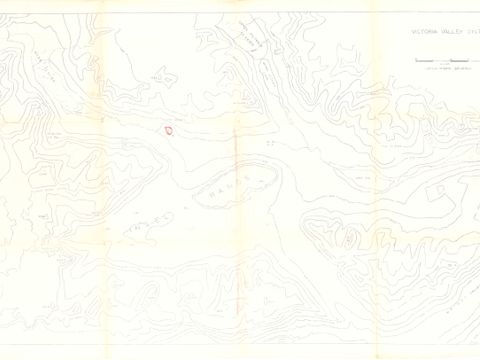
19xx_Geomorphology-and-glacial-geology-of-the-Victoria-Valley-System_TL.jpg

19xx_Geomorphology-and-glacial-geology-of-the-Victoria-Valley-System_TR.jpg

19xx_Map-of-Priestley-Glacier-area.jpg

19xx_Victoria-Valley-System_grey.jpg
19xx_Victoria-Valley-System.jpg

196x_Mawson-and-Aviator-Glaciers_annotated.jpg

1913_British_Antarctic_Expedition_Preliminary_Map.jpg

1913_British_Antarctic_Expedition_Track_Chart.jpg

1913_CapeEvans_CapeCrozier.jpg

1913_McMurdo_Sound.jpg

1913_Northern_Party.jpg

1913_Terra_Nova.jpg

1913_Western_Geological_Parties.jpg

1955_-NZMS-94_Map-of-the-Antarctic-Regions.jpg

1957_NZMS-135_Ross-Sea-Region.jpg

1959_Provisional-soil-map-of-Taylor-Dry-Valley_grey.jpg

1959_Provisional-soil-map-of-Taylor-Dry-Valley_transparency.jpg

1959_Provisional-soil-map-of-Taylor-Dry-Valley.jpg

1960_NZMS166_Tucker-Glacier.jpg

1960_Soils-of-the-NZ-Antarctica-and-Adjacent-Islands.jpg

1961_NZMS166_Darwin-Glacier.jpg

1963_Geological-map-of-Darwin-Mountains_Legend.jpg

1963_NZGS-Southern-field-party-1962-3-and-earlier-expeditions.jpg

1963_NZMS-94_Map-of-the-Antarctic-Regions.jpg

1964_NZMS166_Liv-Glacier_annotated.jpg

1964_NZMS166_Liv-Glacier.jpg

1964_NZMS166_Plunket-Point.jpg

1964_NZMS166_Shackleton-Glacier_annotated.jpg

1964_NZMS166_Shackleton-Glacier.jpg
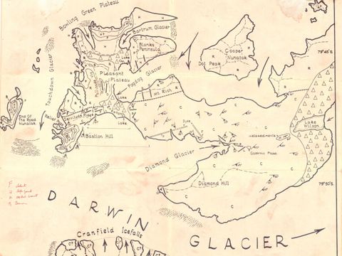
1965_Darwin-Glacier_1.jpg
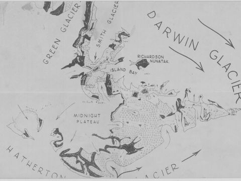
1965_Darwin-Glacier_2.jpg

1967_Soils-of-Taylor-Dry-Valley.jpg

1969_Facilties-in-the-vicinity-of-Vanda-Station_bw.jpg

1969_Facilties-in-the-vicinity-of-Vanda-Station_grey.jpg

1969_Lake-Vanda-lake-level-recording.jpg

1970_Scott-Glacier-area_back.jpg

1970_Scott-Glacier-area.jpg